Plaza Bisnis Kemang, Jl. Kemang Raya No.2 | info@alsentra.co.id
Alsentra Prima
Our core differentiator is a commitment to relentless support, ensuring you maximize your technology investment through comprehensive training, agile troubleshooting, and dedicated after-sales service. We promise our clients give the best in the technology we provide, the data we deliver, and the partnerships we build.
By working collaboratively, we help you minimize downtime, meet critical deadlines, and be utterly confident in the accuracy of your data. Together with our clients and partners, we are poised to drive the industry forward with quality, innovation, and sustainable growth.


With Our Team Experience
We want to emerge as a strategic partner in delivering high precision geosystems solutions, whether in the form of surveying equipment, mapping services, or spatial data-based monitoring technologies. Founded on the principles of integrity, innovation, and accuracy, Alsentra goes beyond merely supplying tools, we provide strategic value to our clients decision making processes through precise and reliable data
Our Expertise
Innovative survey, mapping and spatial monitoring solutions tailored for your success
Marine
Our marine solutions provide hydrographic surveys, bathymetric mapping, and coastal monitoring to support ports, offshore operations, and maritime infrastructure. We deliver accurate seabed and shoreline data for safer marine activities.
Land
Our land solutions deliver high-accuracy surveying, topographic mapping, and engineering support for construction, mining, and infrastructure development. We provide precise and reliable ground data to help you plan, design, and build with confidence.


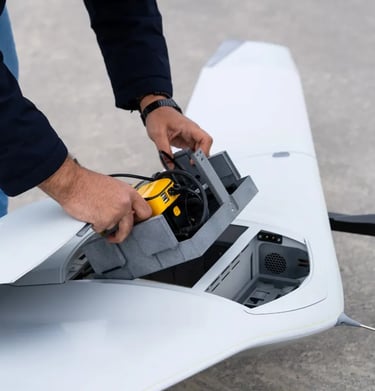
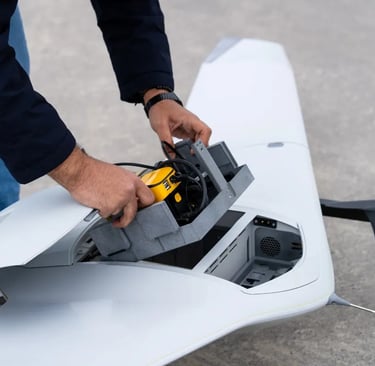
Our aerial solutions deliver fast, scalable drone mapping, aerial LiDAR, and high-resolution imaging for large-area capture, remote locations, and infrastructure monitoring. Ideal for engineering, environmental, and industrial applications.
Aerial


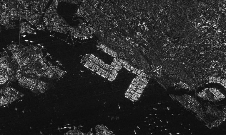
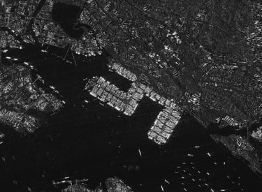
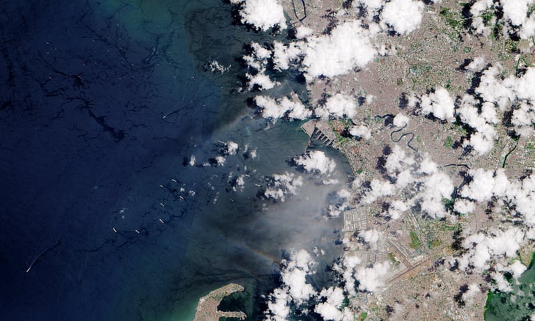
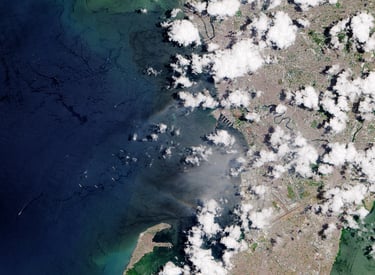
Our satellite solutions enable continuous, wide-area monitoring and cloud-independent observation, ideal for ground deformation, environmental change, infrastructure health, and strategic remote-site assessment.
Satellite
Stay Connected
Get updates on geospatial tech and insights


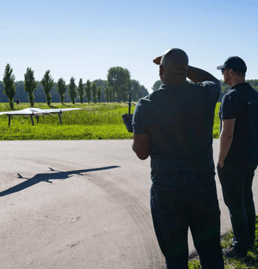
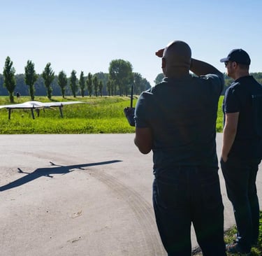
Gallery
Snapshots of our geospatial technology in action